
Hugh's Laithes Pike
Height 1375 feet/419metres
Grid Reference NY 502 151
Area
Wainwright - Outlying Fell
Looking across Haweswater to Hugh's Laithes Pike.
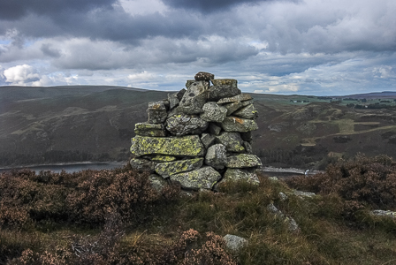
The cairn at Hugh's Laithes Pike.
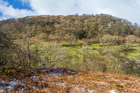
Looking across Naddle Beck to Hugh's Laithes Pike.
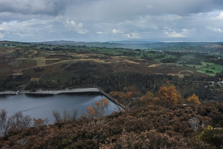
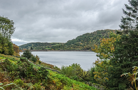
Haweswater Reservoir from Hugh's Laithes Pike.
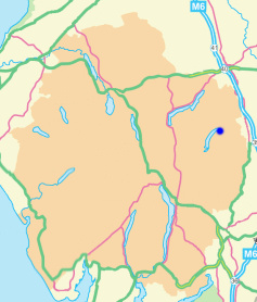
Haweswater Hotel - Old Corpse Road - Ritchie Crag - Woof Crag - Hare Shaw (OF) - Naddle High Forest (OF) - Wallow Crag (OF) - Hugh's Laithes Pike (OF) - Naddle Low Forest (421) - Naddle Farm - Haweswater Hotel
Naddle Bridge - Naddle Farm - Scalebarrow Knott (402) - Harper Hills (403) - Powley's Hill (404) - Hare Shaw (405) - Naddle High Forest (406) - Wallow Crag (407) - Hugh's Laithes Pike (OF) - Naddle Low Forest - Naddle Farm - Naddle Bridge
All pictures copyright © Peak Walker 2021
©Crown copyright. All rights reserved. Licence number 100045184.